1
/
of
4
Illustrated World Atlas
Regular price
€39,47
Regular price
Sale price
€39,47
Shipping calculated at checkout.
Quantity
Couldn't load pickup availability
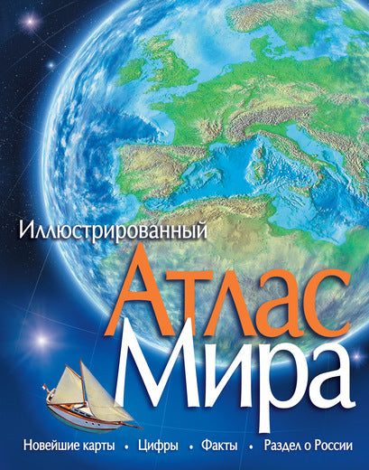
The Illustrated Atlas of the World is a comprehensive portrait of Earth, created using the latest data and new computer technologies.
Contains:
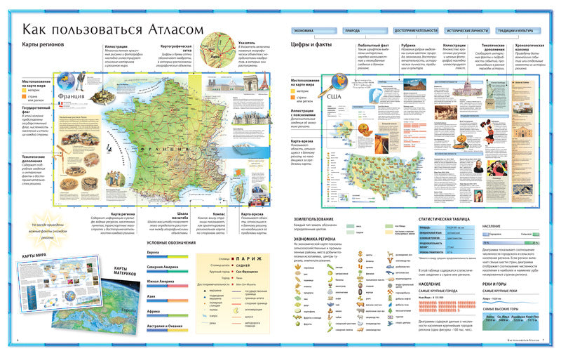
- 100 detailed maps
- More than 1,000 drawings and photographs
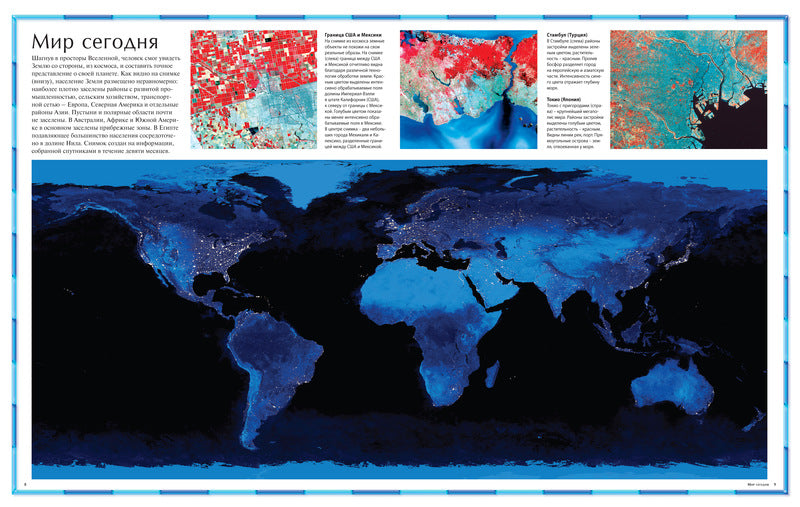
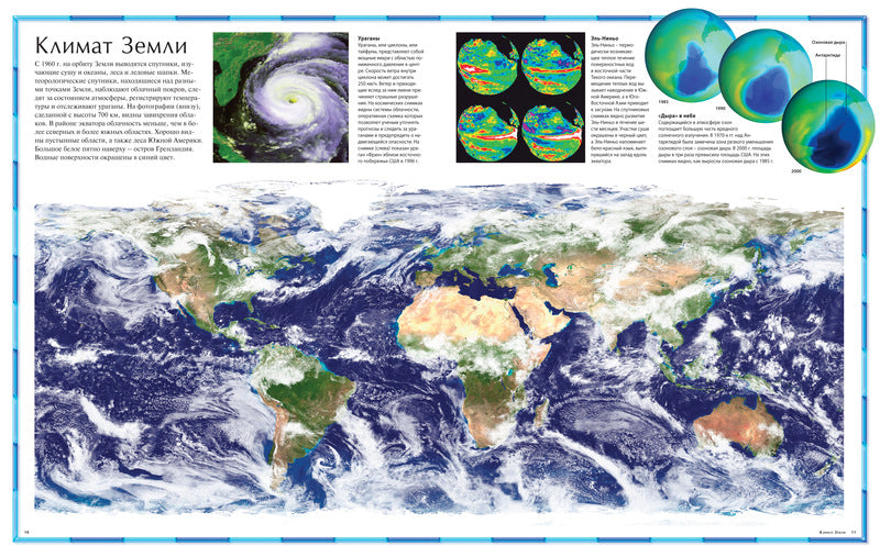
- Satellite images of Earth
- The latest data on all regions of the world
- Detailed alphabetical index: more than 9,000 geographical names
- Inset maps and diagrams containing a wealth of important information
The atlas will be an indispensable reference book and coffee table book for readers of all ages.
Publisher Makhaon
Author/compiler: L. Weedon
Illustrated Atlas series
Publication year: 2021
ISBN 5-18-001040-3, 978-5-18-001040-7, 978-5-389-08939-6
Hardcover
Number of pages: 184
Dimensions: 265x335 mm
Format: 70x108/8 (265x340 mm)
Weight: 1625

View full details
Contains:
- 100 detailed maps
- More than 1,000 drawings and photographs
- Satellite images of Earth
- The latest data on all regions of the world
- Detailed alphabetical index: more than 9,000 geographical names
- Inset maps and diagrams containing a wealth of important information
The atlas will be an indispensable reference book and coffee table book for readers of all ages.
Publisher Makhaon
Author/compiler: L. Weedon
Illustrated Atlas series
Publication year: 2021
ISBN 5-18-001040-3, 978-5-18-001040-7, 978-5-389-08939-6
Hardcover
Number of pages: 184
Dimensions: 265x335 mm
Format: 70x108/8 (265x340 mm)
Weight: 1625